Gateway to Astronaut Photography of Earth
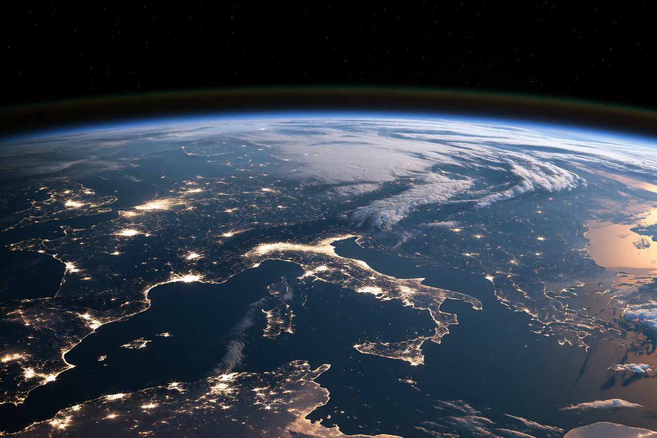
Gateway to Astronaut Photography of Earth holds one of the largest collections of human-made photographs ever assembled: every image Earth-facing astronauts took from Mercury missions in 1961 through today from the International Space Station. The photographs are not satellite views—they're handheld camera frames showing what people in space actually saw, including millions of uncatalogued outtakes.
What's there
The collection is maintained by NASA's Johnson Space Center Earth Science & Remote Sensing Unit. Beginning with Mercury missions in the early 1960s, astronauts have taken more than 1.5 million photographs of Earth, and this searchable online archive features over 1.8 million photos of the Earth taken over the last seven decades. Crew members have been photographing Earth from space since the early Mercury missions beginning in 1961, using hand-held cameras.
Where to start
- Interactive map: Click rectangles on the map, called "footprints", to display astronaut photography from the ISS. Search any location on Earth and see how many times it has been photographed from orbit.
- Uncatalogued images: Search the database for astronaut photography that has not yet been cataloged—these are raw, unprocessed frames including outtakes, blurry shots, and accidental compositions that reveal unscripted moments in space.
- Thematic collections: Browse by category like Volcanoes, Earth Art, Cities, or Distinctive Features to see how the same landscape looks at different angles, seasons, and light conditions.
Make something from it
The vast variation in angle, weather, season, and time of day means you'll find the same place photographed dozens of times in completely different light. Use this archive as a free reference library: download high-resolution views of your neighborhood, a mountain range, or a desert formation at angles you could never capture from the ground. The color, the perspective shift, the cloud patterns—these become material for painting, digital collage, or texture studies. The images also document environmental change over decades, which artists can mine for before-and-after visual narratives.